


IPFS News Link • Weather News - Links - History
Climate Viewer - LIVE! Satellite Map Section
• Climate Viewer - SatellitesClimateViewer Maps is your source for personal education and geophysical monitoring with live imagery on a gorgeous 3D globe. ClimateViewer Maps features an encyclopedic list of exclusive maps resulting in thousands of hours of personal educational bliss not found anywhere else on the internet, let alone in one place. ClimateViewer Maps is an amazing source of unique maps covering climate change, pollution, privacy, exploration, migration, geosciences, architecture, green energy solutions, sunken ships, airplane crash sites, weather modification and more.
ClimateViewer 3D features all-inclusive live updates on severe weather, earthquakes, fires, and other life-threatening events will give you peace of mind. Use our fullscreen map apps to create a custom mix of map layers to share with your friends. ClimateViewer's fullscreen map apps is a fun way to learn about your world by combining layers and connecting the dots! Finally, you can submit your own news, photos, and videos using our Reporting App!
The Satellite section of ClimateViewer.org features in one place a large and diverse collection of over 300 LIVE interactive maps shared by the following providers:
National Aeronautics and Space Administration (NASA)
MODIS Terra and Aqua satellite maps of aerosol optical depth, atmospheric gases, brightness and temperature, clouds top height and temperature, ice an surface temperature, chlorophyll A, precipitation, relative humidity, snow, soil moisture, temperature, water vapor, and wind speed.
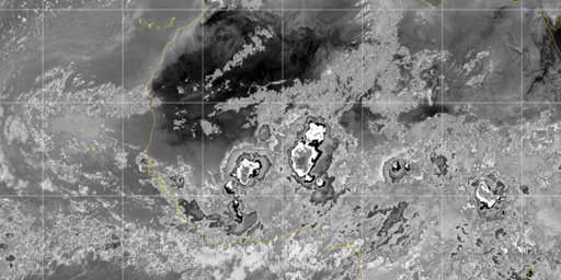
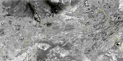
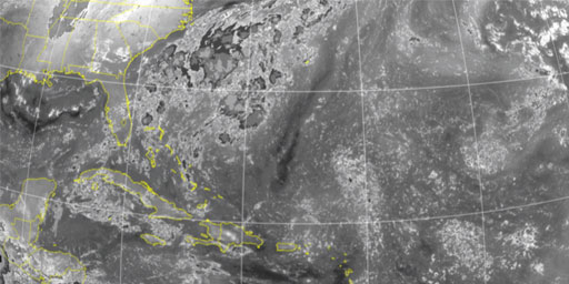
Cooperative Institute for Meteorological Satellite Studies (CIMSS), Space Science and Engineering Center (SSEC) / University of Wisconsin-Madison.
Infrared, unenhanced infrared, Dvorak BD and NHC enhanced infrared, and total precipitable water.
European Organisation for the Exploitation of Meteorological Satellites (EUMETSAT).
Air mass, cloud analysis, cloud mask, cloud top height, day metaphysics, dust, European HRV, fog and low clouds, multi-sensor precipitation estimate, natural color, snow, visual, volcanic ash, and water vapor.
Geostationary Operational Environmental Satellite (GOES) Network.
Global visible imagery mosaic and composites, global long and shortwave infrared mosaic
US Naval Research Lab.
Convective cloud top heights, infrared clouds, visible clouds and water vapor.
This section contains live maps that are either updated every few minutes, hourly, or daily. These maps are pulled from different government, university, and private sources when you load them and are subject to occassional outages.
When viewing these maps please consider that they are for informational purposes only and usage may be subject to tracking by the individual providers, which is not controllable by ClimateViewer Maps. If you are concerned about privacy, please use a virtual private network (VPN) and avoid being tracked!
Map Sections
Cooperative Institute for Meteorological Satellite Studies (CIMSS), Space Science and Engineering Center (SSEC) / University of Wisconsin-Madison.
![]()
![]()
![]()
![]()
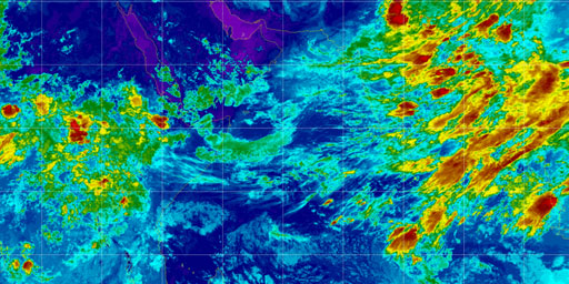
Dvorak BD Enhancement - Infrared - Europe & Africa
Cooperative Institute for Meteorological Satellite Studies (CIMSS), Space Science and Engineering Center (SSEC) / University of Wisconsin-Madison.
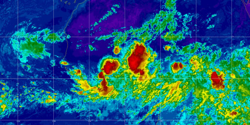
Dvorak BD Enhancement - Infrared - Indian Ocean
Cooperative Institute for Meteorological Satellite Studies (CIMSS), Space Science and Engineering Center (SSEC) / University of Wisconsin-Madison.
Dvorak BD Enhancement - Infrared - North Atlantic
Cooperative Institute for Meteorological Satellite Studies (CIMSS), Space Science and Engineering Center (SSEC) / University of Wisconsin-Madison.
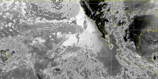
Dvorak BD Enhancement - Infrared - Northeast Pacific
Cooperative Institute for Meteorological Satellite Studies (CIMSS), Space Science and Engineering Center (SSEC) / University of Wisconsin-Madison.
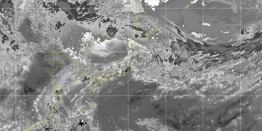
Dvorak BD Enhancement - Infrared - Northwest Pacific
Cooperative Institute for Meteorological Satellite Studies (CIMSS), Space Science and Engineering Center (SSEC) / University of Wisconsin-Madison.
Dvorak BD Enhancement - Infrared - Western Australia
Cooperative Institute for Meteorological Satellite Studies (CIMSS), Space Science and Engineering Center (SSEC) / University of Wisconsin-Madison.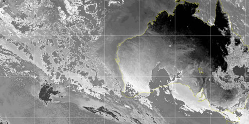
NHC Enhancement - Infrared - Europe & Africa
Cooperative Institute for Meteorological Satellite Studies (CIMSS), Space Science and Engineering Center (SSEC) / University of Wisconsin-Madison.
NHC Enhancement - Infrared - Indian Ocean
Cooperative Institute for Meteorological Satellite Studies (CIMSS), Space Science and Engineering Center (SSEC) / University of Wisconsin-Madison.
MORE MAPS HERE
Watch Streaming Broadcast Live:
LRN.fm
DLive

Telegram


